
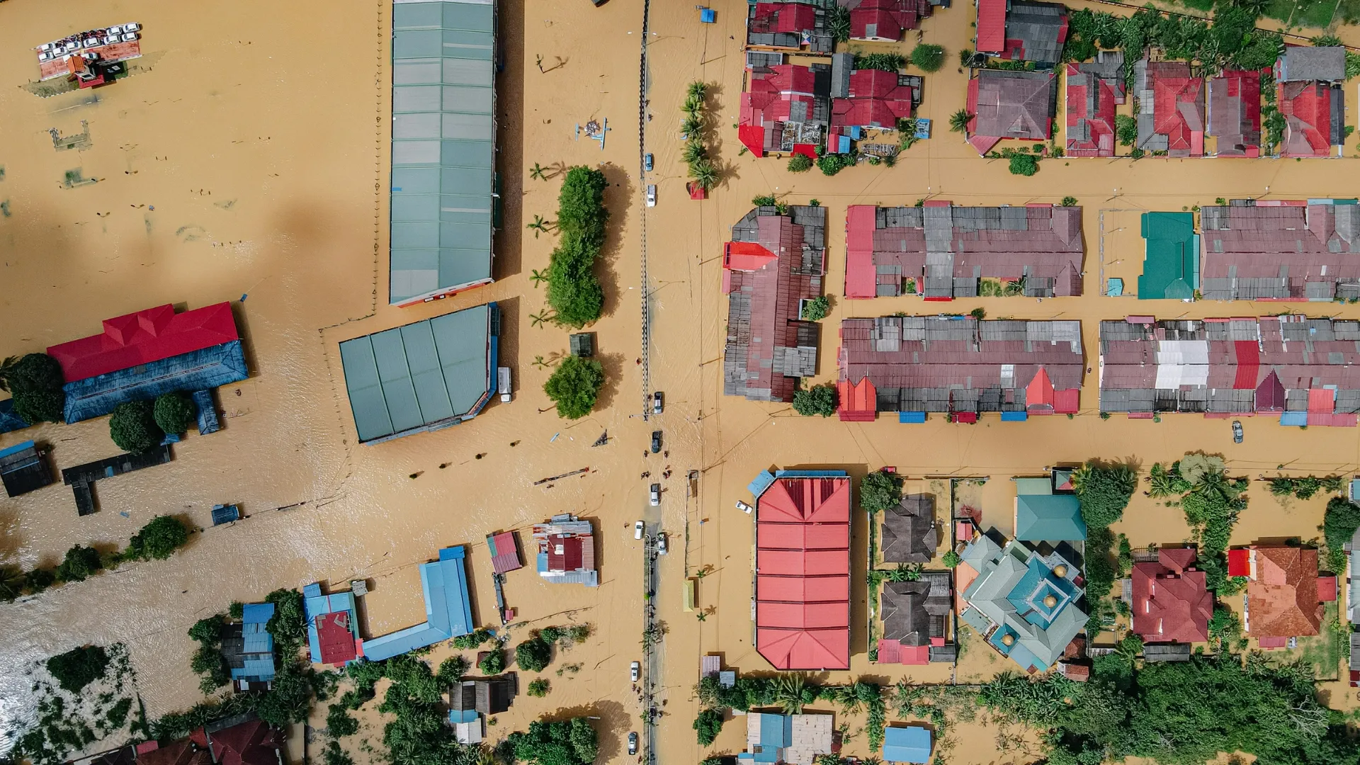
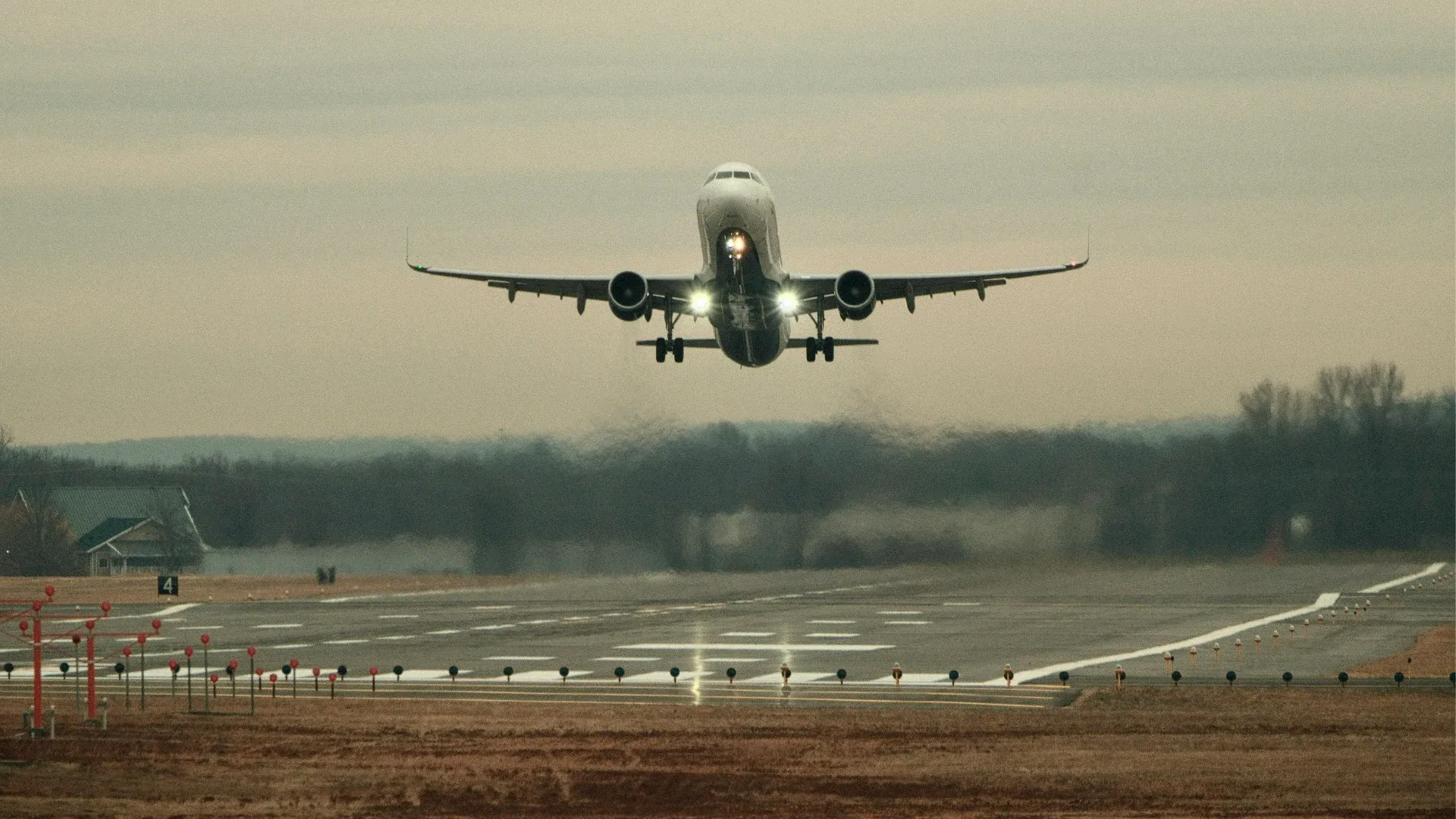

When we talk of Africa’s picture in matters of disasters and risks, we see floods, droughts and disease outbreaks alongside crime, civil unrest and conflict. It is my observation that these risks feed on each other. When floods hit, transport is disrupted, affecting supply chains that rely heavily on road networks. This can also become a security problem when people are stranded, displaced or competing for scarce food, water and pasture. Over time, I have observed that when the first headline is about the weather, the next one is often about roads, followed by supply chain impacts and then security concerns. This means we cannot separate disaster risk management in Africa from security thinking. Right now, one of the climate risks shaping this conversation across the continent is El Niño.
What is El Niño doing to Africa?
Reading NOAA’s Climate Prediction Center report of 8 October 2026 has led me to conclude that El Niño is not just a mere possibility on a forecast map. It is already here and advisories are being issued on its likely impacts. NOAA says that the event continues to strengthen, with an 83% chance that October to December 2026 will see an event exceeding the strength of previous El Niño events recorded since 1950. A strong to very strong El Niño is also likely to persist into early 2027. This is significant, although the severity of its effects will differ across regions.
It is important to understand that El Niño does not affect the whole continent in the same way. East Africa is facing increased rainfall risks in several areas. In Kenya, the Kenya Meteorological Service Authority's October to December outlook forecasts above-average rainfall across much of the country, including Nairobi, parts of the Rift Valley, the Coast and north-eastern counties. Prolonged wet spells and isolated storms are expected. This then raises concerns about flash floods, damaged infrastructure, transport disruptions and possible disease outbreaks, we have witnessed this before.
Southern Africa presents a different picture. The SADC outlook released after SARCOF-33 favours below-normal rainfall from October to December across much of Angola, southern Zambia, Zimbabwe, Mozambique, Namibia, Botswana, most of South Africa, Eswatini and Lesotho. If these conditions persist, the region could face poor harvests, water shortages, higher food prices and pressure on hydropower generation.
What is disaster risk management?
In risk management, a disaster occurs when a hazard affects exposed and vulnerable people or systems, causing serious disruptions. Vulnerabilities in this case include people living in floodplains, weak drainage systems, something Nairobi knows all too well, limited food reserves and poor preparedness. El Niño is a climate phenomenon that can increase the likelihood of certain hazards, including floods and droughts. How serious the consequences become depends partly on how prepared we are.
Five pillars of disaster risk management help us understand how these risks can be addressed.
We start with understanding the risk. This involves identifying exposed people, infrastructure and areas likely to be affected. Basically mapping out the assets, threats, risks and all stakeholders.
The second is prevention and mitigation, where measures such as clearing drainage systems and protecting critical infrastructure help reduce damage.
Third is preparedness and early warning. We already have forecasts showing us what to expect, so the question is how well we use that information. In fact, SARCOF-33 urged governments and stakeholders to turn forecasts into early action.
Fourth is response, which involves coordinating information, people and resources when an incident occurs.
Lastly, recovery and resilience, where affected communities and systems are restored while reducing their vulnerability to future disasters.
These pillars are relevant to governments, communities and organizations, particularly those responsible for people travelling and working across the continent.
What does this mean for organizations working in Kenya and Southern Africa?
Take Kenya, for example. A company planning to send a team from Nairobi to northern Kenya this month has to consider more than the usual security risks. According to the Kenya Meteorological Service Authority, rains in Marsabit, Mandera, Wajir, Garissa and Isiolo are expected to begin in the second to third week of October. A route that was accessible last week could become difficult to use due to flooding or damaged roads. In Southern Africa, a company operating in areas facing prolonged dry conditions may need to consider water availability, pressure on essential supplies and possible disruptions to its operations.
How does travel risk management help?
This brings us to travel risk management. Before sending people on a journey, organizations need to assess the risks associated with the destination, route and timing. These include weather conditions, security threats, disease outbreaks and access to essential services. ISO 31030:2021 provides international guidance on managing travel risks and meeting an organisation's duty of care responsibilities.
What is secure journey management?
Secure journey management then puts this assessment into practice. It covers route selection, travel times, alternative arrangements, communication procedures and emergency response plans. For example, if a road becomes impassable, is there an alternative route? If conditions worsen, who decides whether the team should continue, delay or turn back? These decisions are easier to make when responsibilities and procedures are agreed upon before departure.
Why does continuous monitoring matter?
However, plans can quickly become outdated. Conditions may change while travelers are already moving, which makes continuous monitoring important. Security alerts, weather warnings and health advisories help organizations adjust their plans and communicate with teams on the ground. Having reliable information also helps avoid unnecessary exposure to risks that could have been anticipated.
What tools can help assess destination risk?
Technology is increasingly supporting this process. Sicuro Group's free Live Travel Risk Map provides risk information covering more than 240 countries and territories. It combines government travel advisories with natural disaster alerts from GDACS and disease outbreak information from the World Health Organization. The information is refreshed every 30 minutes, and users can generate free pre-travel risk assessment reports aligned with ISO 31030:2021.
Where should organizations start?
El Niño will affect different parts of Africa differently. What should concern us most is how quickly a weather event can develop into a transport, business or security problem. This is why disaster risk management needs to account for the movement of people and the operations that depend on them.
As organizations plan their activities across Africa, the forecasts being issued now should inform travel and operational decisions. Sicuro Group's Live Travel Risk Map offers a practical starting point for assessing destination risks, while our travel risk management services support organizations with journey planning, monitoring and response as conditions change.

Security Analyst, Sicuro Group Africa
Patriciah Gakonde is a Security Analyst at Sicuro Group Africa with a background in criminal justice, security management, and investigative work. She is building her expertise in security operations, risk management, and cyber defense.